HI, I'M ELLEN.
I'm a smart lady, driven by curiousity.
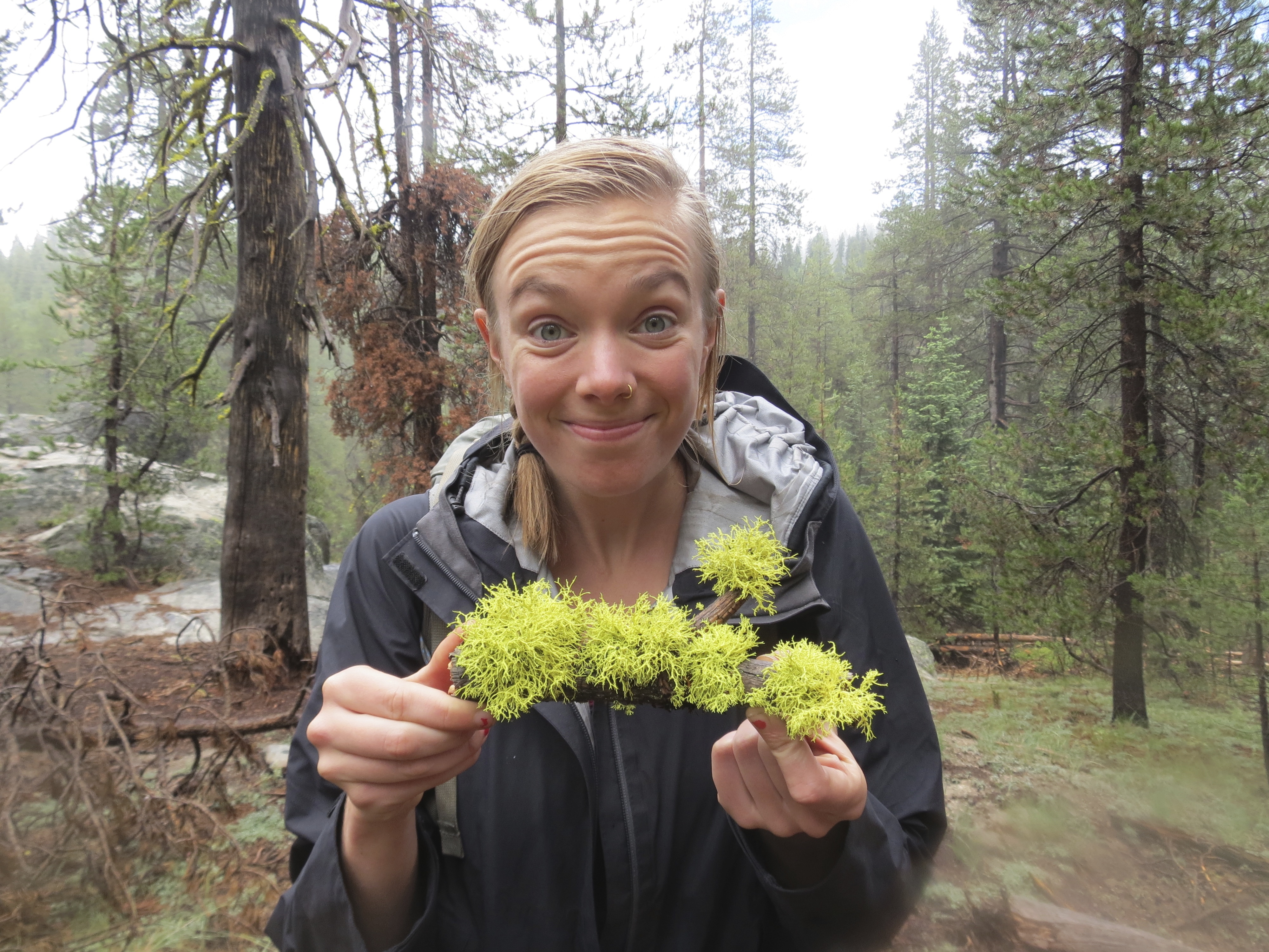
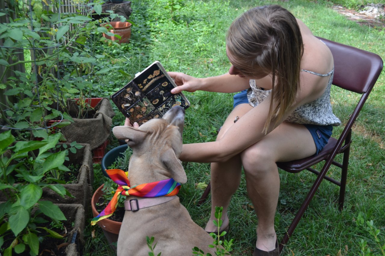
I love maps, mountains, mushrooms, and my dog. You can find out more about me here, or check out my portfolio of maps, apps, and websites.
🍄 🌲 ❤️️ 🐶 🌎
Like what you see? Say hi.
I love maps, mountains, mushrooms, and my dog. You can find out more about me here, or check out my portfolio of maps, apps, and websites.
Like what you see? Say hi.

As a Cartographer, my skills are at the intersection of art, analysis, data, design, visualization, technology, coding, and storytelling. I’ve used these skills not only to make maps, but also to design user interfaces, develop websites, and build apps.
I moved from NC to Detroit after receiving this fellowship for young Entrepreneurs. WTF is an Entrepreneur? Honestly, I’m still not quite sure what an entrepreneur is or if I am one, but I have cut my teeth at a couple of startups. At MagicBus, I managed the launch of a new company in a new city as Director of Detroit Operations. At LOVELAND Technologies, I collected user research, played around with parcel data, consulted on client mapping projects, and unloaded the dishwasher (a lot).
I’ve always been fascinated by the way people interpret and represent space. I honed my digital skills as a Web Cartographer at the Southern Environmental Law Center, where I used leaflet.js, mapbox.js, and turf.js to build interactive data projects. I won the Herbert G Stout Award for Innovative Use of GIS in 2014, and the McNally Award for Excellence in Geography in 2015. In 2015 I presented a solar mapping application I built at the NC GIS Conference.
Making maps, apps, and websites keeps me on my computer a lot. But the truth is, I’d almost always rather be outside. I love rock climbing, foraging for mushrooms, and hiking with my rescued pit bull. If it is too rainy for outside adventures, I’ll probably be in the kitchen making and/or drinking something fermented.
Want to collaborate? Get in touch.